Oral
Planning and Management
Economic and Ecological Aspects of Water Resources Planning and Management
The Social and Economic Impacts of a Flood Prone Urban Watershed in Pittsburgh, PA and Nature Based Strategies for Flood Mitigation and Policy
Wednesday, May 24, 2023
5:00 PM - 5:15 PM PDT
Room: La Sirena III

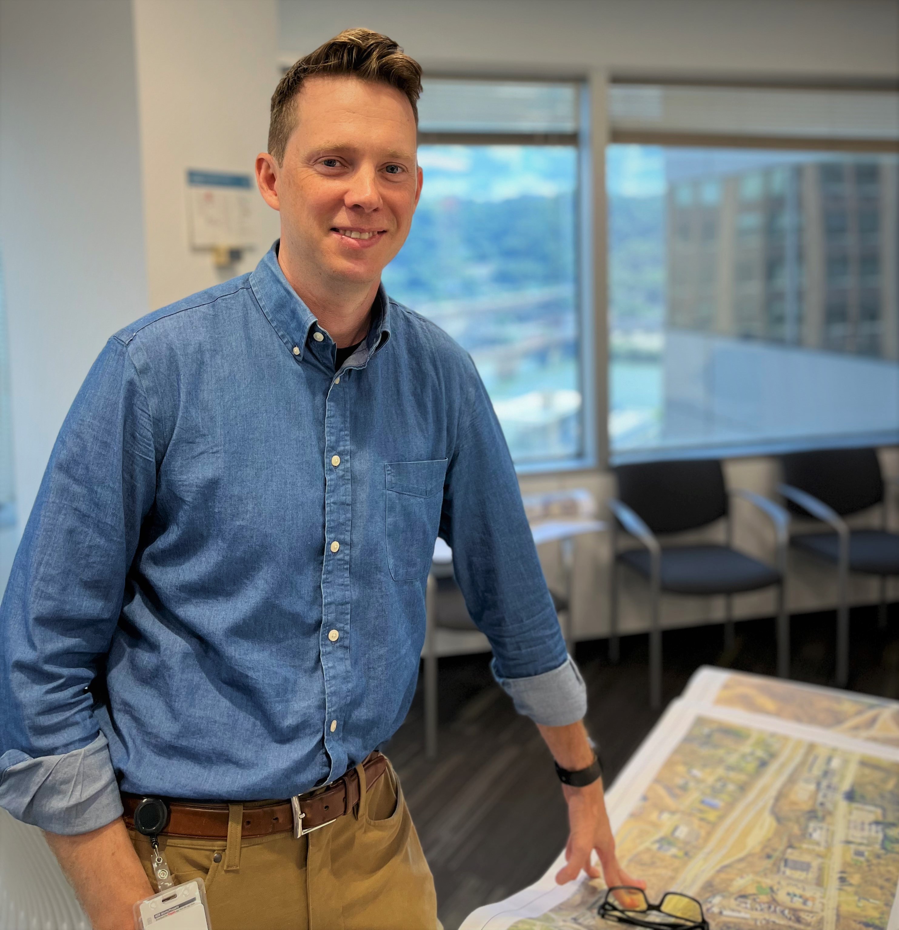
Tom Batroney
HDR
Author(s)
The highly urbanized Saw Mill Run watershed near Pittsburgh, Pennsylvania is prone to hazardous flash flooding conditions. According to public records, from 2010 to 2020 there were 49 days of individual flash flooding occurrences resulting in a combination of road closures, damages, cleanup, and emergency management services. Due to the frequency of flooding over many years, large portions of the watershed, primarily along the stream corridor, have become subject to blight and/or abandonment to homes and businesses.
To understand the prolonged negative effects of flash flooding, a social and economic analysis of this corridor was conducted with the aim of understanding the underpinnings of economic disinvestment and related social injustices to adjacent neighborhoods. Flood inundation extents and frequencies were determined using a full watershed two-dimensional rain on grid flood model developed using HEC-RAS 6.2 and publicly available USGS LiDAR data. The results of the model were compared against historical flood reports to confirm model accuracy. The model was simulated for a range of return frequency flood events under both present day and future climate scenarios to determine the limits of flood inundation under both existing and future climate conditions. The flood inundation levels were used in conjunction with existing landuse, building data, demographic, employment, and county tax assessor’s data to understand the social and economic impact of flooding within the corridor. Armed with this understanding, strategies for nature-based flood mitigation and land management policies were developed to maximize flood reduction and equitable social outcomes.
To understand the prolonged negative effects of flash flooding, a social and economic analysis of this corridor was conducted with the aim of understanding the underpinnings of economic disinvestment and related social injustices to adjacent neighborhoods. Flood inundation extents and frequencies were determined using a full watershed two-dimensional rain on grid flood model developed using HEC-RAS 6.2 and publicly available USGS LiDAR data. The results of the model were compared against historical flood reports to confirm model accuracy. The model was simulated for a range of return frequency flood events under both present day and future climate scenarios to determine the limits of flood inundation under both existing and future climate conditions. The flood inundation levels were used in conjunction with existing landuse, building data, demographic, employment, and county tax assessor’s data to understand the social and economic impact of flooding within the corridor. Armed with this understanding, strategies for nature-based flood mitigation and land management policies were developed to maximize flood reduction and equitable social outcomes.
